Mt. San Antonio College

Associate of Science - Geographic Information Systems
Walnut, USA, North America
Walnut, USA, North America

Program duration
24 months

Language
English

Tuition fees
from $8 688
About the program
Geospatial technologies, including Geographic Information Systems (GIS), Remote Sensing (RS), and Global Positioning System (GPS), are used to capture, store, manage, analyze and visualize geospatial information related to locations on Earth's surface. These technologies are used to combine various types of geospatial information in a digital environment and are widely used in our daily life, government agencies, in almost every industry.
Program Details
Degree level:
2-Year Undergraduate Diploma
Study mode:
In Class
Program duration:
24 months
Features
International Year One
Details come from the university and can change — always confirm on the program page before you apply.
Key facts
Main subject

Sciences
Start months

January, February, June, August
Entry requirements
Grade 12 / High School
English language tests

TOEFL
45
IELTS
4.5
PTE Academic
41
Duolingo
75
Grades

GPA
60 / 100
Cost

$50
Application fee

$13 500
Cost of living / year
$8 688
Tuition
Other fees
Medical Insurance Fee
per year
$1,377
Books and Supplies Fee
per year
$1,300
Enrollment Fee
per year
$1,104
Health Fee
per year
$46
Student Activities Fee
per year
$30
Charged by the institution on top of tuition.
Gallery
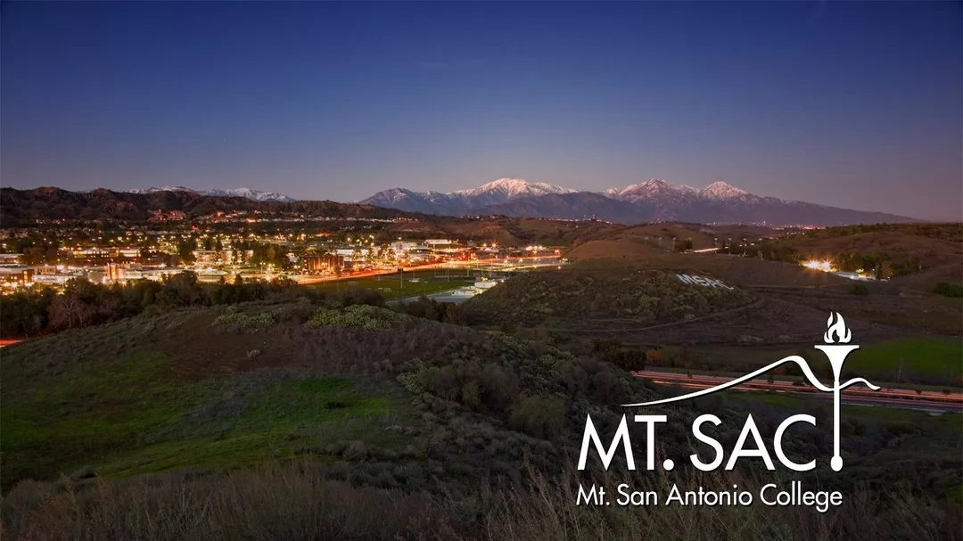


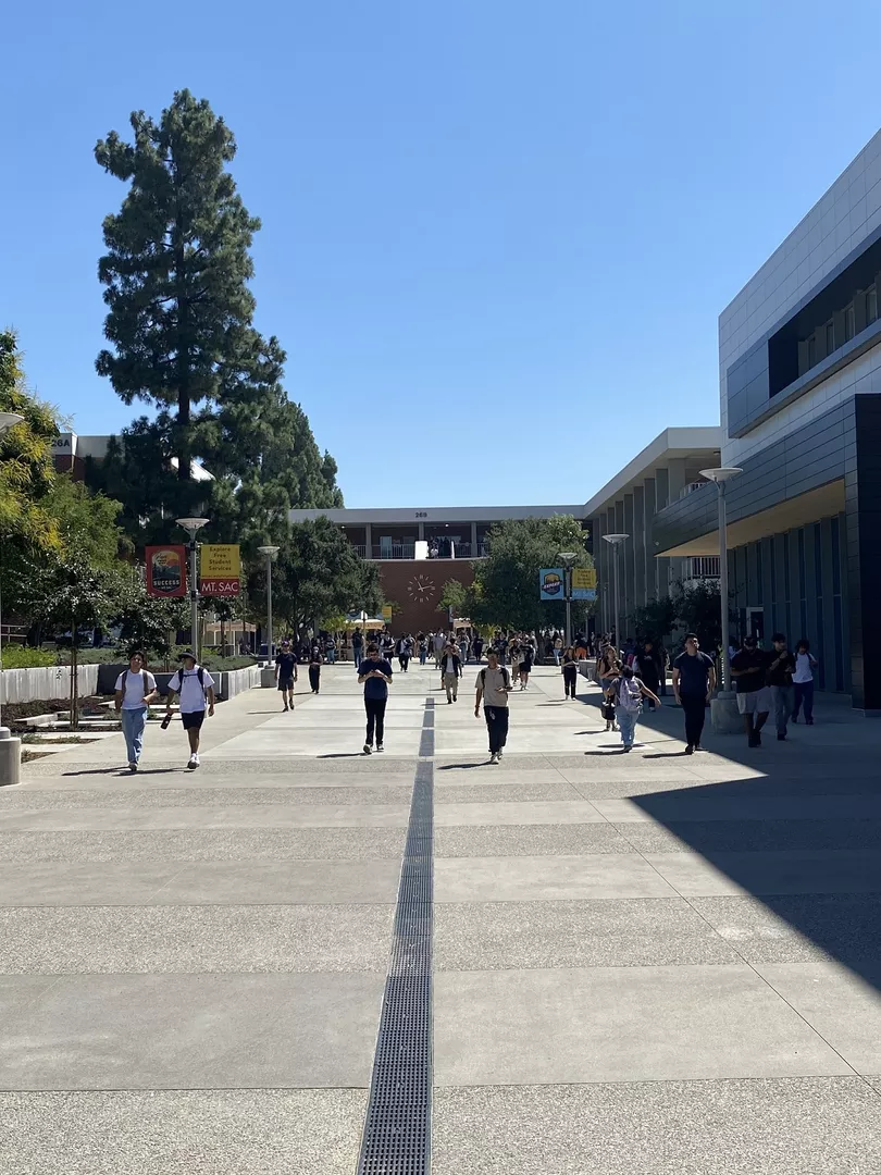
+1 photos
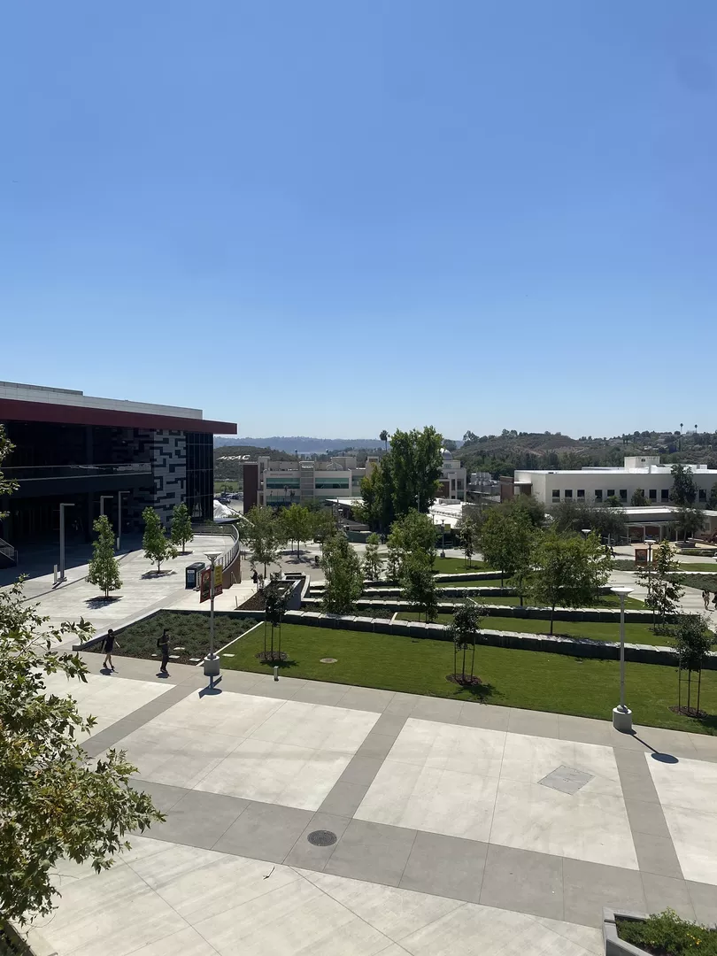
Campuses
Main Campus
Similar programs







Program Details
Degree level:
2-Year Undergraduate Diploma
Study mode:
In Class
Program duration:
24 months